Project Overview
This dashboard displays historical and real-time water data collected from multiple sensors across Syracuse, NY, to increase accessibility to environmental monitoring.
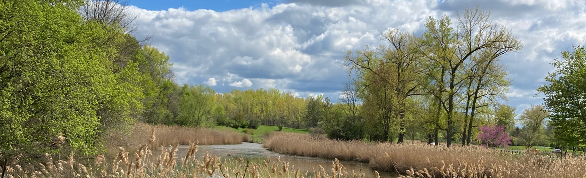
Photo from AllTrails.com
Filters
Site info
Map
Charts
Frequently Asked Questions
Project code is available on GitHub: WEN-Research-Group/Cuse-Water
Is this my drinking water?
No. This dashboard is not showing treated drinking water coming directly out of household taps. Instead, it offers a glimpse into freshwater moving through local environments such as shallow groundwater, connected surface water, and the water systems that run beneath and around our neighborhoods. That water is not the same thing as finished tap water, but it is still important because it reflects the condition of the local hydrologic system that communities depend on.
Why should we care about this data?
Local water conditions affect ecosystems, infrastructure, and long-term water quality. Seeing how temperature, conductivity, depth, and related measurements change over time can help people better understand how urban landscapes interact with water. It also helps make environmental data more visible and understandable for residents, students, and community partners.
Why might the measurements change after storms or snowmelt?
Heavy rain, rapid snowmelt, and storm events can move water quickly through streets, soils, drains, and shallow subsurface pathways. That can temporarily change water depth, temperature, and conductivity. In urban areas, these events can also wash salts, sediments, and other materials into connected freshwater systems, creating short-term spikes or shifts in the data.
Can road salt affect these measurements?
Yes. One of the clearest signals can be conductivity, which often increases when more dissolved ions are present in the water. During winter and spring, road salting and melt events can influence nearby freshwater systems, especially where runoff or shallow groundwater pathways are connected to roads, parking lots, or developed land.
Why do the numbers go up and down so much?
Water systems are dynamic. Conditions can shift with weather, season, time of day, groundwater inputs, runoff, and sensor location. A changing line on a graph does not automatically mean something is wrong. Often it reflects normal environmental variation, while in other cases it may point to a storm response or a seasonal pattern worth paying attention to.
Does this dashboard replace official water safety reporting?
No. This dashboard is an educational and environmental monitoring tool. It should not be used as a substitute for official drinking water reports, public health guidance, or regulatory sampling programs. Instead, it helps show how local freshwater conditions change over time in places that people may not usually see.